Boat Networking Explained: NMEA 0183, NMEA 2000, and Marine Ethernet
Every boat with more than one electronic device on it is running a network, whether anyone thinks of it that way or not. The confusing part is that most boats are actually running two or three different networks at once, layered on top of each other, each one built for a different job. If you’ve ever wondered why your GPS talks to your radio but your radar needs a completely different cable, or why adding a camera to the helm suddenly means buying a “switch” instead of just plugging it in, this is why. This article is the map of how the pieces fit; the NMEA 0183, NMEA 2000, and marine Ethernet/BlueNet guides each go deep on wiring, dos and don’ts, and real products for that specific layer.
The three layers, in plain terms
NMEA 0183 is the oldest standard still in daily use — a simple serial connection, one talker to one (or a few) listeners, moving basic text sentences like GPS position or a depth reading. It’s slow by modern standards and it’s genuinely showing its age, but it’s still what a lot of older instruments, autopilots, and even some current-generation handheld VHF radios speak, so it isn’t going away.
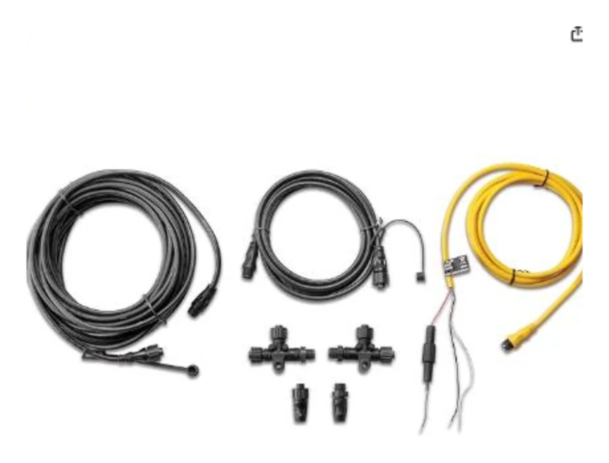
NMEA 2000 is the standard that replaced 0183 for most modern sensor-to-sensor communication. It’s a shared bus — every device (GPS, depth, wind, engine data, autopilot) plugs into one common backbone cable instead of needing its own dedicated wire back to every other device, and any device on the bus can read data any other device is broadcasting. This is the layer that makes a modern helm “just work” when you add a wind sensor or a second chartplotter.
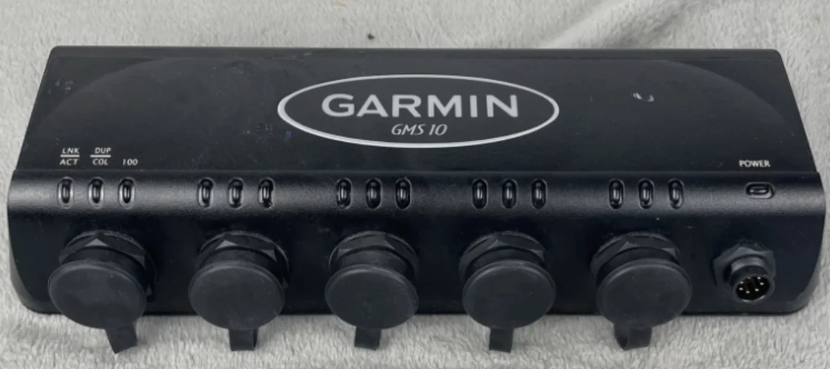
Marine Ethernet is the newest and fastest layer, built for the data that NMEA 2000’s low bandwidth can’t handle at all: radar, sonar imaging like Panoptix LiveScope, video from cameras, and chart data shared between multiple displays. On Garmin gear specifically, this has existed for years as the proprietary Garmin Marine Network, and the current generation of that system is Garmin BlueNet — a standards-based Gigabit Ethernet upgrade introduced alongside the GPSMAP 9000 series. Other brands run their own version of the same idea: Simrad and B&G use SimNet for their NMEA-2000-equivalent layer and their own Ethernet backbone for radar and sonar, and the industry has a newer open standard called NMEA OneNet meant to eventually standardize this Ethernet layer the way NMEA 2000 standardized the sensor bus — but as of 2026, adoption is still early, and most brands are still running their own proprietary Ethernet systems rather than OneNet.
Why you need more than one network at all
The short answer is bandwidth. A depth reading or a GPS position is a tiny amount of data — NMEA 0183 and NMEA 2000 were both designed decades ago around exactly that kind of small, simple sensor data, and they’re intentionally slow and simple because that makes them reliable and cheap to implement. Radar returns, sonar imaging, and live video are a completely different scale of data — orders of magnitude more per second — and neither older standard was ever meant to carry it. Rather than replace the sensor bus, manufacturers added an entirely separate, much faster network on top of it for exactly that heavier traffic. Your depth sounder doesn’t need Gigabit Ethernet, and your radar can’t function on the same slow bus your depth sounder is happy with — so you end up with both.
How it all comes together at the chartplotter
The chartplotter (or MFD, multifunction display) is the device that sits in the middle of all three networks and translates between them. On a typical modern boat: NMEA 2000 carries GPS, depth, wind, and engine data into the MFD over the N2K backbone; a legacy instrument or an older handheld VHF might still be feeding NMEA 0183 sentences in through a dedicated 0183 port or a multiplexer; and radar, a Panoptix LiveScope sonar module, and a second or third MFD are all talking to each other over the marine Ethernet/BlueNet backbone. The chartplotter reads all three, displays it as one coherent picture, and — depending on the specific data type — can pass information from one network to another (for example, GPS position that arrived over NMEA 2000 getting sent back out to a NMEA 0183 VHF radio for DSC distress calling, which is exactly the setup covered in the VHF/DSC guide).
This is also why the GPSMAP series is built with more networking depth than ECHOMAP or STRIKER: all three families speak NMEA 2000, but GPSMAP is the tier built to run the full stack — NMEA 0183, NMEA 2000, and the Ethernet/BlueNet layer for radar, LiveScope, and multi-display setups — while STRIKER in particular is deliberately limited to keep it simple and affordable.
What data typically runs on which network
| Network | Typical data |
|---|---|
| NMEA 0183 | GPS position (older units), legacy AIS receivers, older autopilots, some handheld VHF radios |
| NMEA 2000 | GPS, depth, water temperature, wind speed/direction, engine data, fuel level, autopilot commands, modern AIS, rudder angle |
| Marine Ethernet / BlueNet | Radar, Panoptix LiveScope and other sonar imaging, IP cameras, chart and sonar data shared between multiple MFDs, software updates |
Picking a starting point
If you’re troubleshooting an existing boat rather than building one from scratch, the fastest way to figure out what you’re dealing with is to look at the back of your chartplotter: a set of small round connectors in a row is NMEA 2000 (and possibly a separate Garmin Marine Network or BlueNet port set apart from those), while a handful of bare wire pairs screwed into a terminal block is NMEA 0183. From there, the three linked guides below cover wiring, the actual dos and don’ts, and real products for whichever layer you’re working on:
- NMEA 0183 setup guide — legacy serial wiring, multiplexers, and what still needs it
- NMEA 2000 setup guide — backbone/drop topology, termination, and power budgeting
- Marine Ethernet & Garmin BlueNet setup guide — radar, sonar, cameras, and multi-display networking
Bottom line
NMEA 0183 is the old, simple, slow layer that refuses to fully disappear. NMEA 2000 is the modern sensor bus that makes most of a boat’s instruments talk to each other with minimal wiring. Marine Ethernet — Garmin Marine Network, BlueNet, SimNet’s Ethernet counterpart, or eventually NMEA OneNet — is the fast lane reserved for radar, sonar imaging, and video. Most boats running real electronics have all three running at once, and understanding which device needs which network is most of what separates a clean, reliable install from a helm full of mystery wires.
This article may contain affiliate links. If you buy through them, we may earn a small commission at no extra cost to you. Learn more.